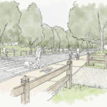
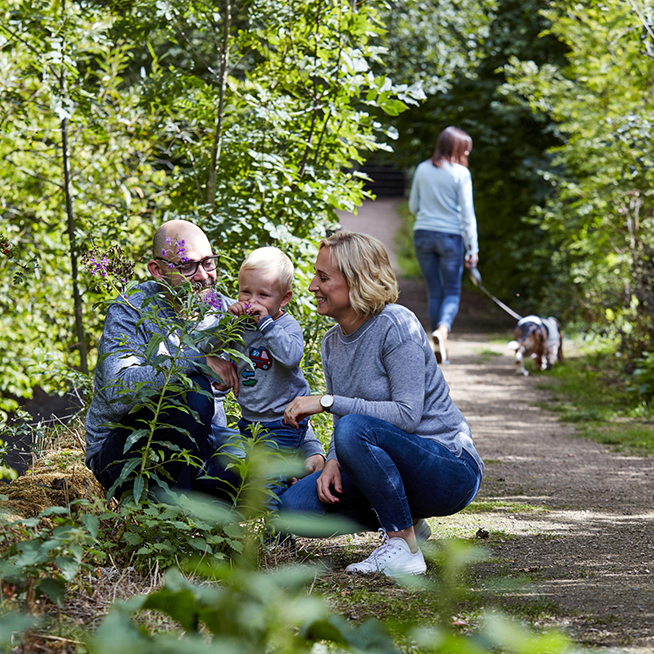
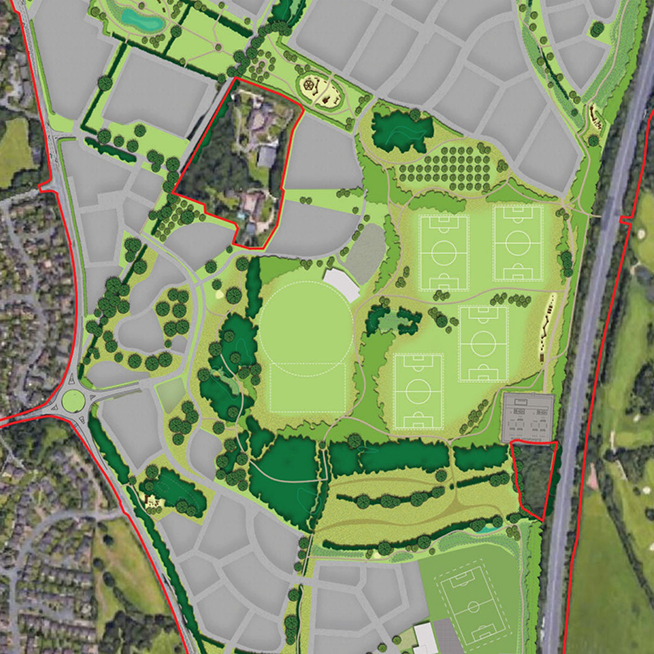
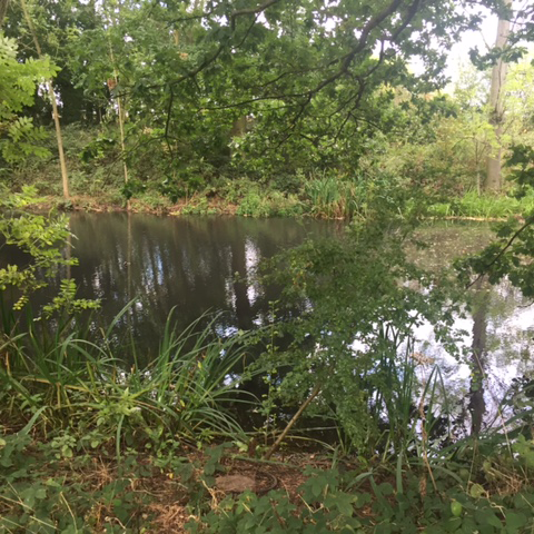
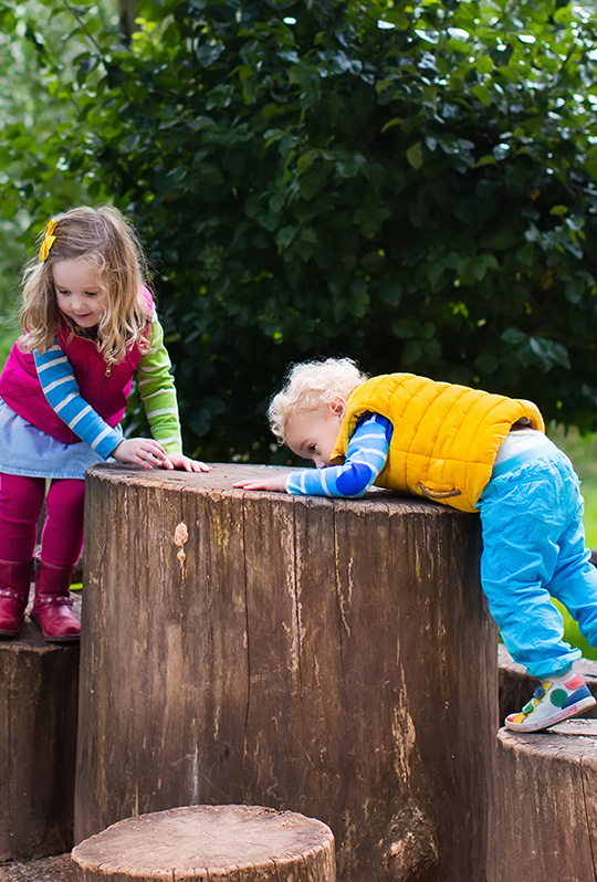
Green Infrastructure

Green Infrastructure


The development at Langley will provide significant areas of green infrastructure including new parks, sport facilities and green links. These will create a pleasant environment in which to live and work and will support wildlife and the wider environment.

Langley Heath Park


Will form a significant area of formal and semi-formal public open space providing a key destination for a variety of activities and a strategic green corridor linking New Hall Valley Country Park with the countryside to the east of the A38. Pedestrian and cycle routes will provide connections between adjacent communities to the north and south, notably to Langley Central via Fox Hollies Road and Langley Brook Park.

Langley Brook Park


Will form a significant area of natural open space with a distinct wetland character. It will provide a key destination for recreation and leisure, a substantial north/south green route and a high-quality landscape setting for the new homes. The park will include children’s play areas and footbridges over the brook with connections to Langley Heath Park, communities to the west and east and Langley Central.

Fox Hollies Park


Will be a key community asset, providing the formal sports hub for the development.  The sports hub is a shared facility for both the secondary school and the wider community. Fox Hollies Park will respond to the requirements of Birmingham City Council’s Playing Pitch Strategy and support formal sports provision. This area could include; grass football pitches; all-weather football pitches; a cricket pitch and a sports pavilion with changing facilities, club rooms, sports equipment storage and parking.

Fox Hollies Wood


The evolution of the proposals for the site has focused heavily on the protection and enhancement of the ecologically sensitive meadow and historically sensitive hedgerow pattern in this area. The intention is to manage the woodland, ponds and meadow as a type of ‘nature reserve’ to maximise their wildlife potential, while allowing pedestrian access. Interpretation boards will be provided to enhance understanding and promote respectful use of these areas.

Langley Hall Park


Langley Hall Park will incorporate heritage assets, provide play and recreation opportunities and contribute towards on-site biodiversity. Views towards Old Langley Hall (Grade II) will be retained, together with historic features including the medieval fishponds and moat. 

A multi-use games area (MUGA) and outdoor gym equipment is proposed together with an informal kick-about area. There is the potential to provide a kiosk or a combined facility with a café, toilets and a small parking area. Langley Hall Park is located adjacent to one of the three primary schools to be provided and one of the two community hubs. 

Langley Fields Park


Langley Fields Park provides the southern open space for the site. Like Langley Hall Park in the north, it is located adjacent to one of the three primary schools and one of the two community hubs. The park will include an informal kick-about area and Sustainable Urban Drainage System (SuDS) features which will be designed to provide a naturalistic appearance. The park could also include a MUGA and outdoor gym equipment. The Greenway route passes nearby, enabling easy access to the facilities. 

The secondary areas of the Green Infrastructure strategy comprise: 

Eastern Boundary


This multi-functional green space along the eastern boundary will contribute to the integration of the site into the surrounding countryside and provide future residents with some separation from the A38. The main entrances to the Corridor will be from the new A38 roundabout to the south, and along Ox Leys Road, to the north.

The corridor will be a minimum of 30m wide and will serve several functions including noise attenuation, visual screening and SuDS surface water retention and conveyance.

The Greenways


The greenways provide car-free routes for pedestrians and cyclists. They tie into existing features where possible, including SuDS, providing connections for people and wildlife and open space for adjacent residents. Native plants and tree planting will be used to clearly define boundaries and routes passing through the greenways.

The Langley Greenway


Will provide a strategic pedestrian and cycle movement route for existing and future residents. This approx. 3.7km route will form a green spine through the site and link with existing foot and cycleway routes on Churchill Drive and those located adjacent to ASDA. The route will also provide access to key destinations within and surrounding the site.

““Langley will incorporate significant areas of public open space for new and existing residents to enjoy. Cycle and pedestrian routes will encourage sustainable journeys through the development.”

FEEDBACK